Klassik
CHF 69 with frame
- Paper
- Light, A4
- Pens
- Grey fineliner, red pen
- Route
- Fine red line
- Terrain
- Dense contour lines, dotted lakes
- Frame
- White, A4, included
Pen plots from Switzerland
Send us the GPS track of your hike, run or bike ride. We lay it over the contour lines and draw both on A4 with a pen plotter.
Choose your paper
The sheet
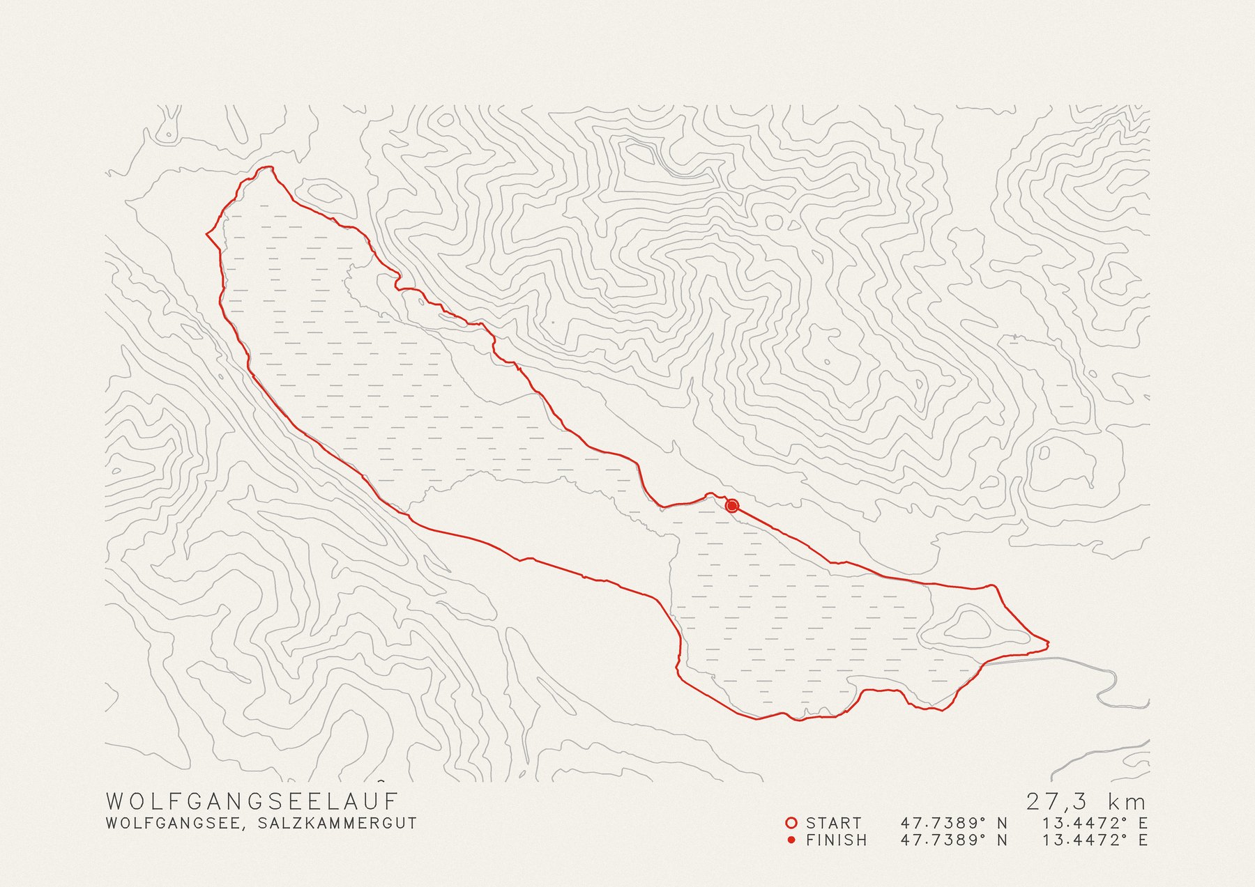
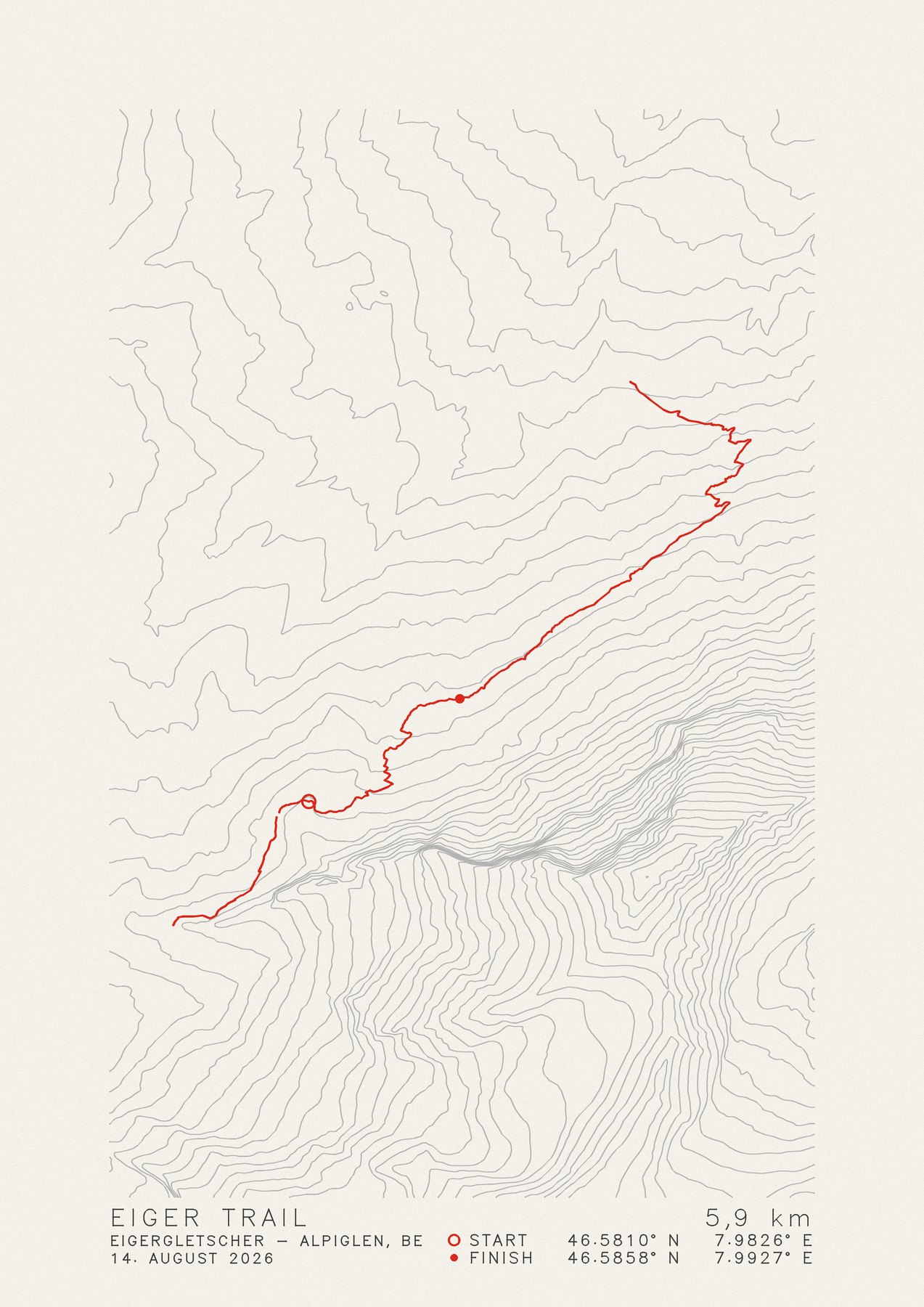
Every sheet is made from your own recording and the real terrain beneath it. The plotter draws every line in ink: contour lines, lakes and lettering just like your route.
Pen plotter
No printer, no dots. A pen traces each line on its own, the way you walked your trail: first the terrain and the lettering, your route last. The ink sits visibly on the paper, every line has a beginning and an end, and no two sheets are quite the same.
01Edition
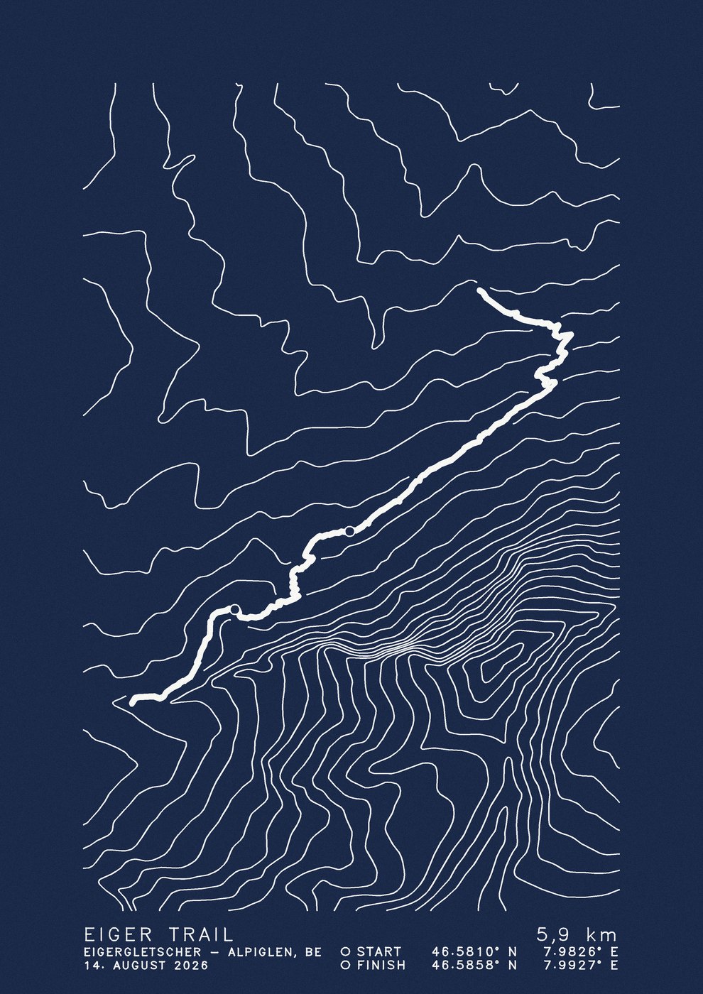
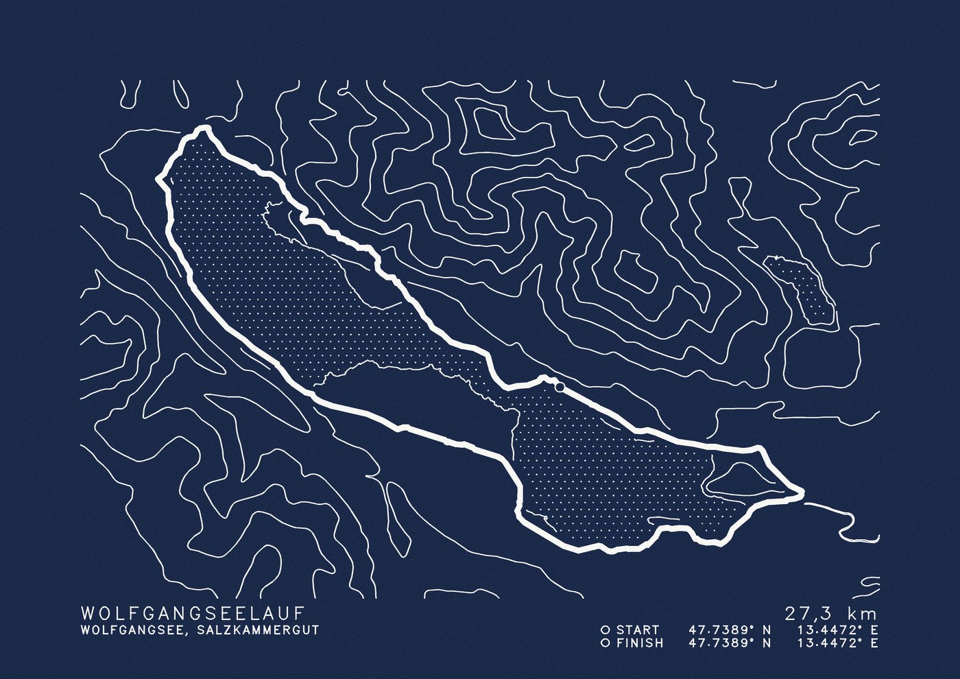
The same map on two papers. Klassik draws the terrain in grey and your trail in red. Alpinstart, named after the alpine start in the dark, draws everything with a white gel pen on heavy, night-blue paper. Choose an edition and the whole page follows.
CHF 69 with frame
CHF 119 with frame
Both editions in A4, in a white frame, with shipping within Switzerland. If you already have a frame, the sheet alone costs CHF 20 less.
02Format
A trail that climbs stands well upright: a ridge, a pass, a summit. A loop around a lake or a long stage along a valley often needs the width. You decide, and we set the map up to match. If the route fits the format badly, we'll tell you with the preview.
Example: Eiger Trail, 5.9 kmExample: Wolfgangseelauf, 27.3 km
Continue with portraitContinue with landscape03Upload
Upload what you have. A GPX file puts the track exactly where you were. A screenshot from Strava, Komoot or the Fitness app works too: we place it on the map and trace the track. In the details it may then differ slightly from the real path, which you'll see in the preview.
Uploading is not an order yet. First you get a preview by email. Only when you approve it do we draw the sheet and you pay.
Examples
Well-known routes, computed like an order, in the edition you chose above. The pictures are digital previews of the plot files.
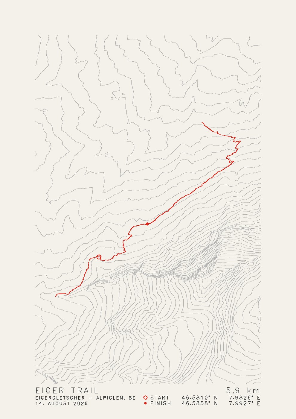
Eigergletscher – Alpiglen BE
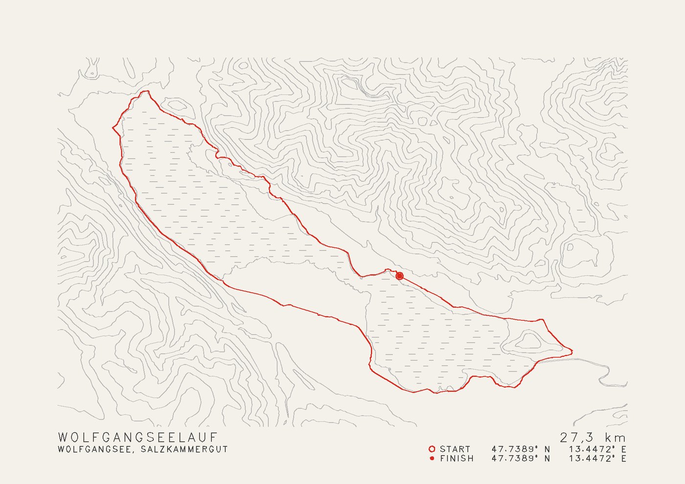
Salzkammergut AT
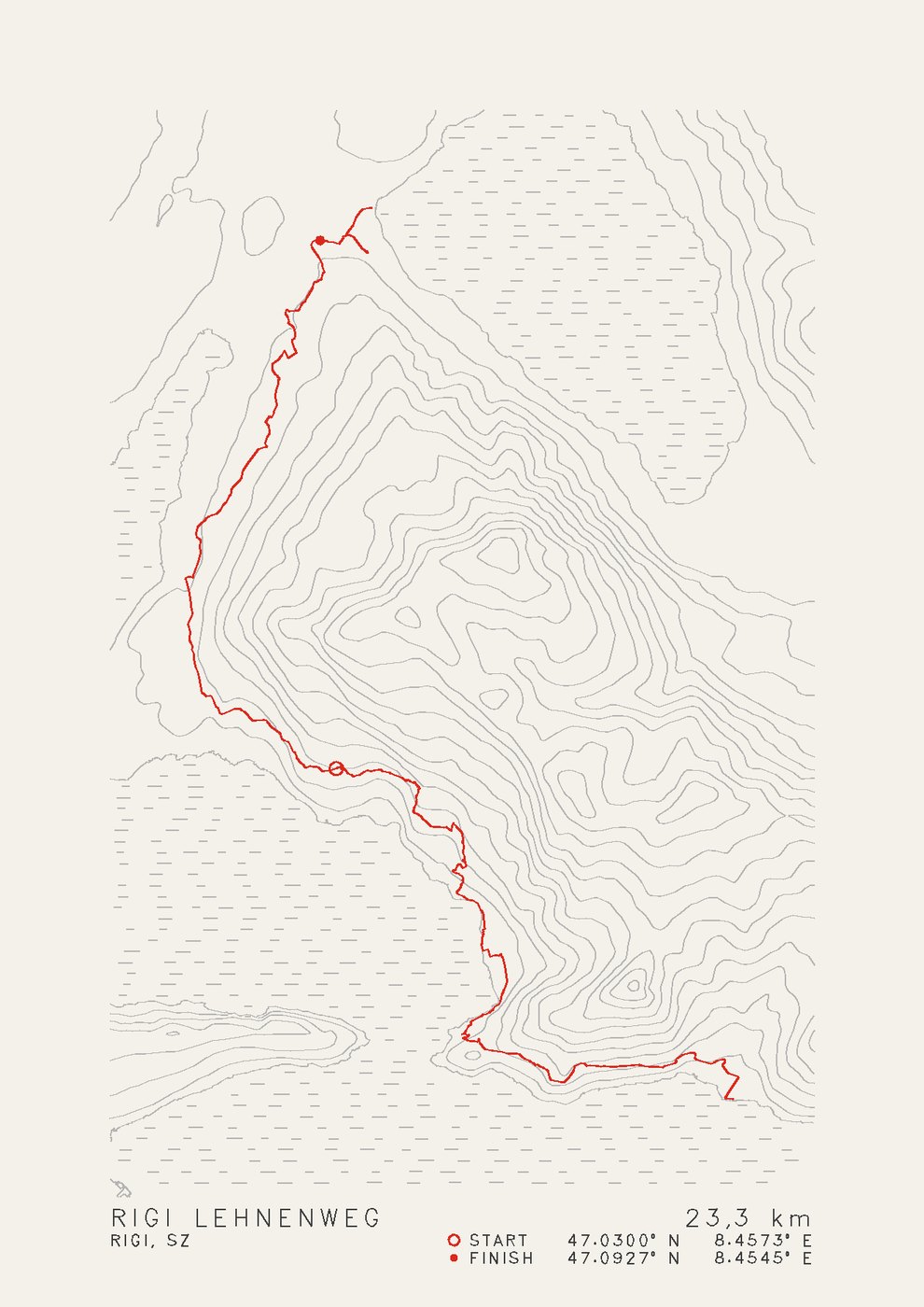
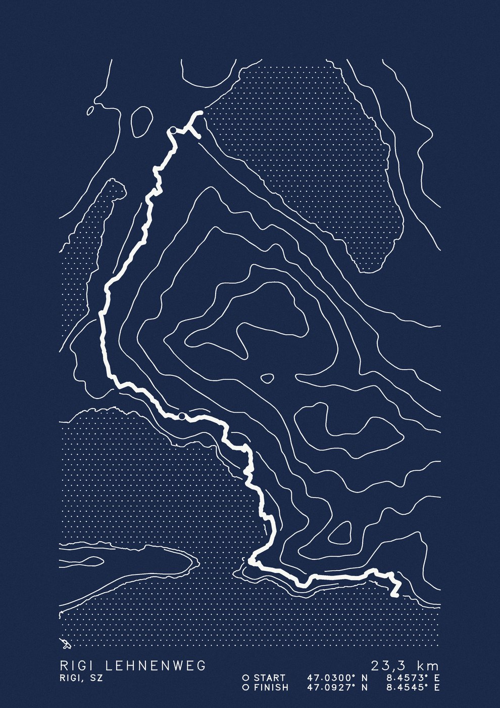
Rigi SZ
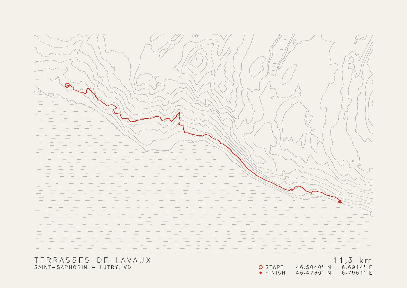
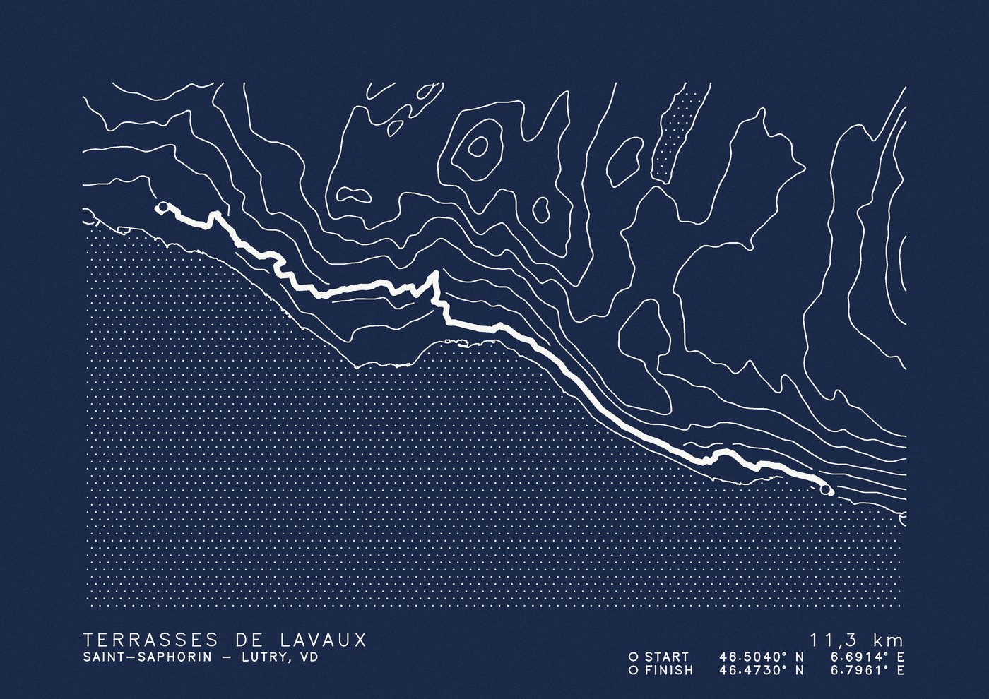
Saint-Saphorin – Lutry VD
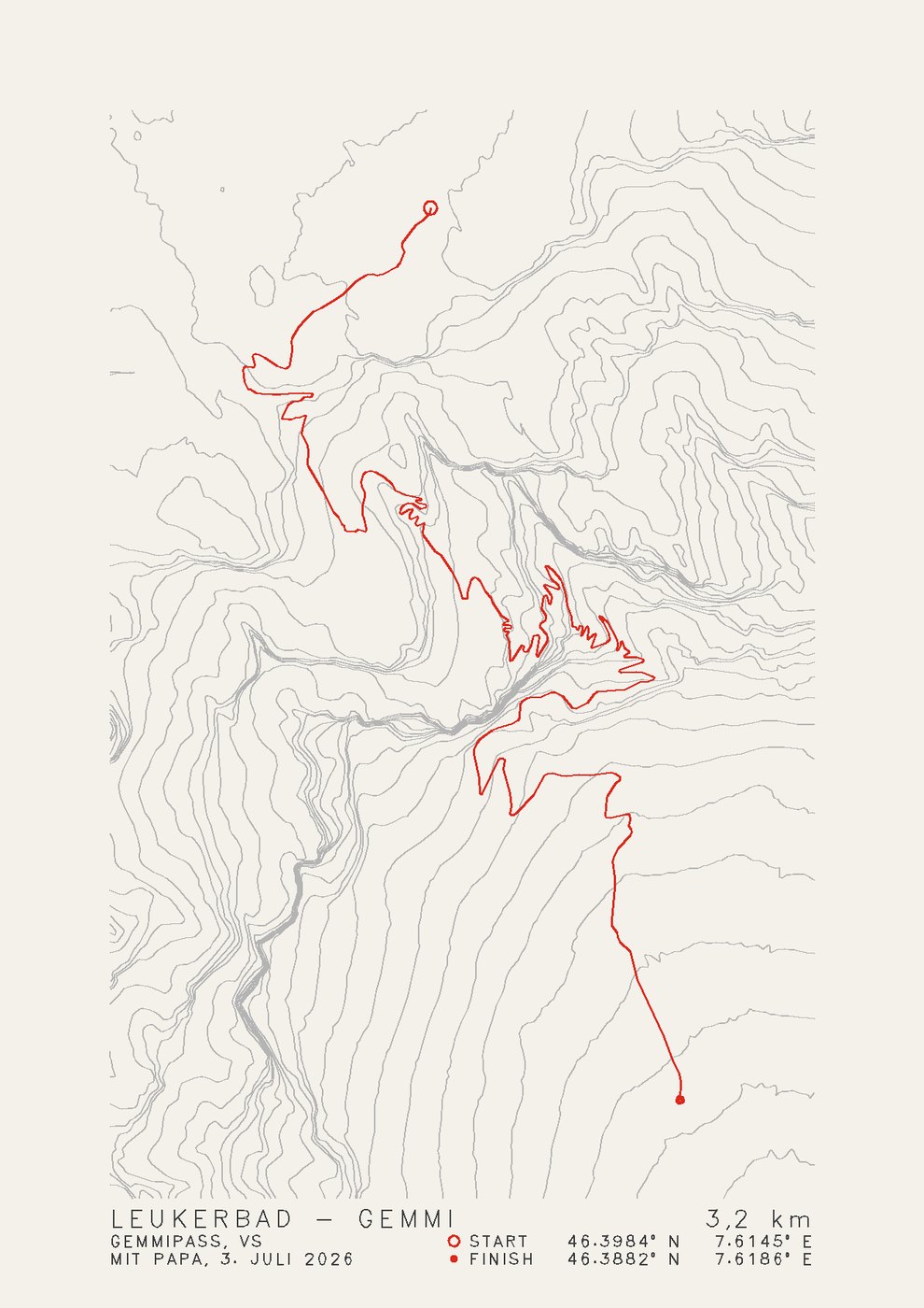
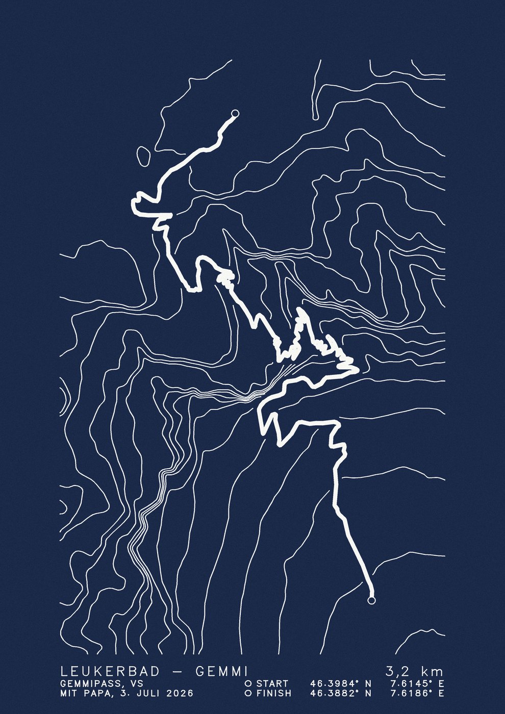
Gemmipass VS
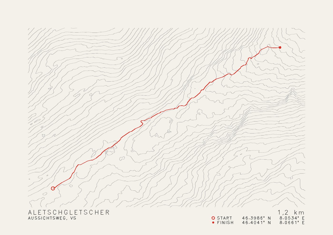
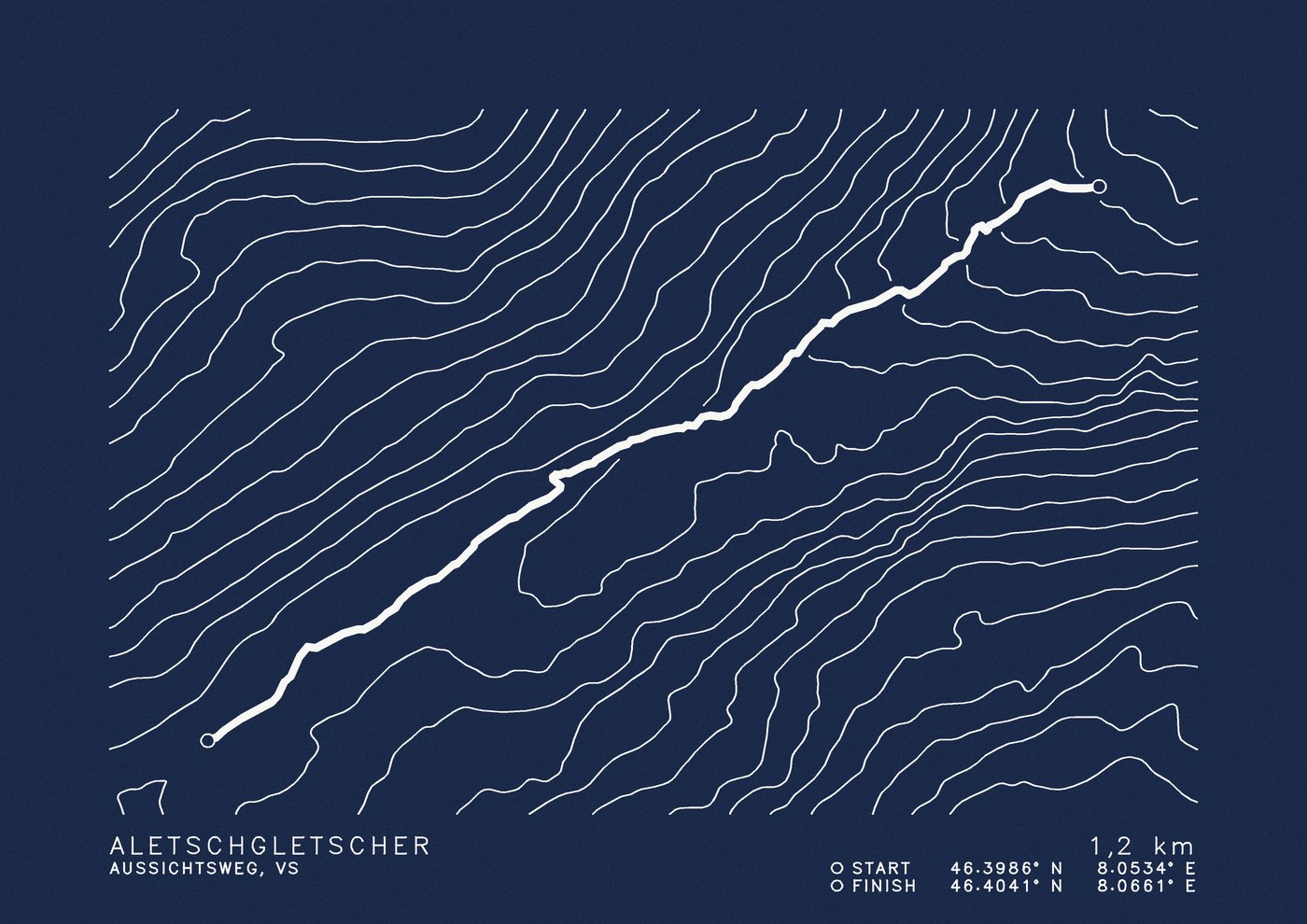
Viewpoint trail VS
Trails: © OpenStreetMap contributors
GPX file
Open the activity on strava.com in a browser, click the three dots on the left, then "Export GPX". The app does not have this function.
The Fitness app does not export GPX. Apps such as HealthFit or RunGap read the workout from Apple Health and save it as GPX.
Open the activity in Garmin Connect in a browser, the gear icon top right, then "Export to GPX".
Open the tour, tap the three dots, then "Download GPX". This also works for planned tours.
Questions
In Switzerland from swisstopo's swissALTI3D elevation model, on a two-metre grid; in Austria from the official terrain model at ten metres. For routes outside Switzerland and Austria there is only coarser open data (mostly 30 metres). There the contour lines show the terrain simplified, and we cannot guarantee their accuracy. The track itself is not affected. Lakes, large rivers and the sea are dotted on both editions.
Klassik is the finer map: more contour lines, the route as a thin red line on light paper. Alpinstart is calmer and bolder: fewer lines, the route as a wide white band on heavy, night-blue paper. In the white frame it stands out on the wall from a distance.
You choose that in step 2. We set the map up to match and make your route as large as possible on the sheet. If it is very long and narrow and fits the chosen format badly, we'll suggest the other one with the preview.
A4, the map with a 25 mm margin. Below it the name of the tour and the distance, then place or region and the date of the tour on the left, and start and finish with coordinates on the right. If you leave the place empty, we fill it in from the map.
If your activity starts at home, the track shows it. Cut off the start before exporting (Strava: "Privacy zones") or tell us which part to leave out.
Klassik costs CHF 69, Alpinstart CHF 119, both in a white A4 frame and with shipping within Switzerland. Without a frame it is CHF 49 and CHF 99. You only pay once you have seen and approved the preview.
Upload it. A picture has no coordinates, so we place it on the map and trace the track. That works well but stays an approximation: where symbols cover the line or the map is zoomed far out, the track may differ from the real path. Only a GPX file is exact. For it to work, the screenshot should show the whole route, and tell us in the message field where the tour was. You see the preview before you pay.
Contact
A question about a route, a gift with a special wish, or just hello. We reply by email within one or two days.